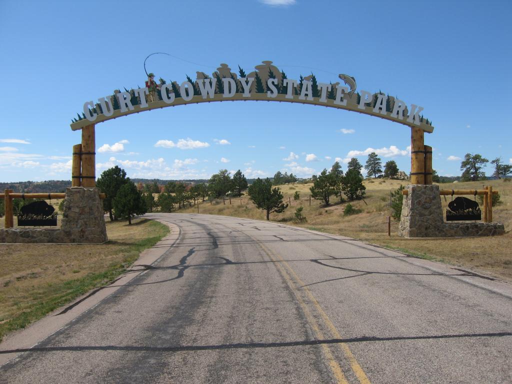
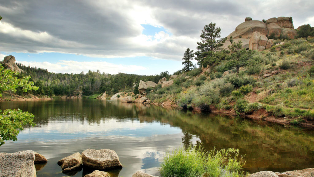
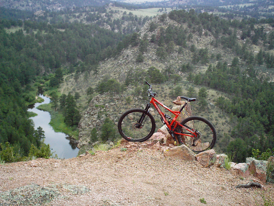
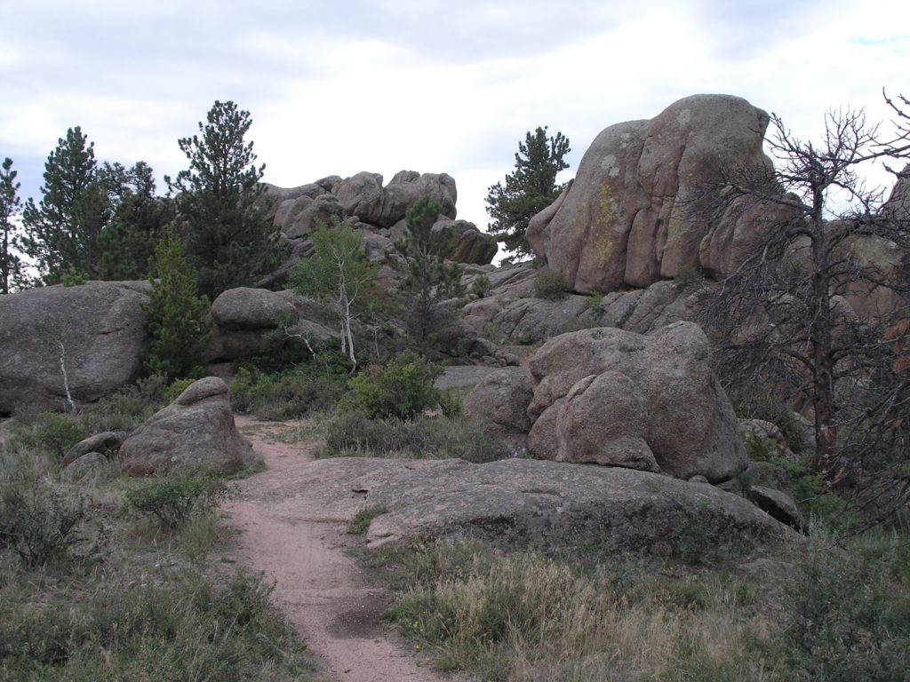
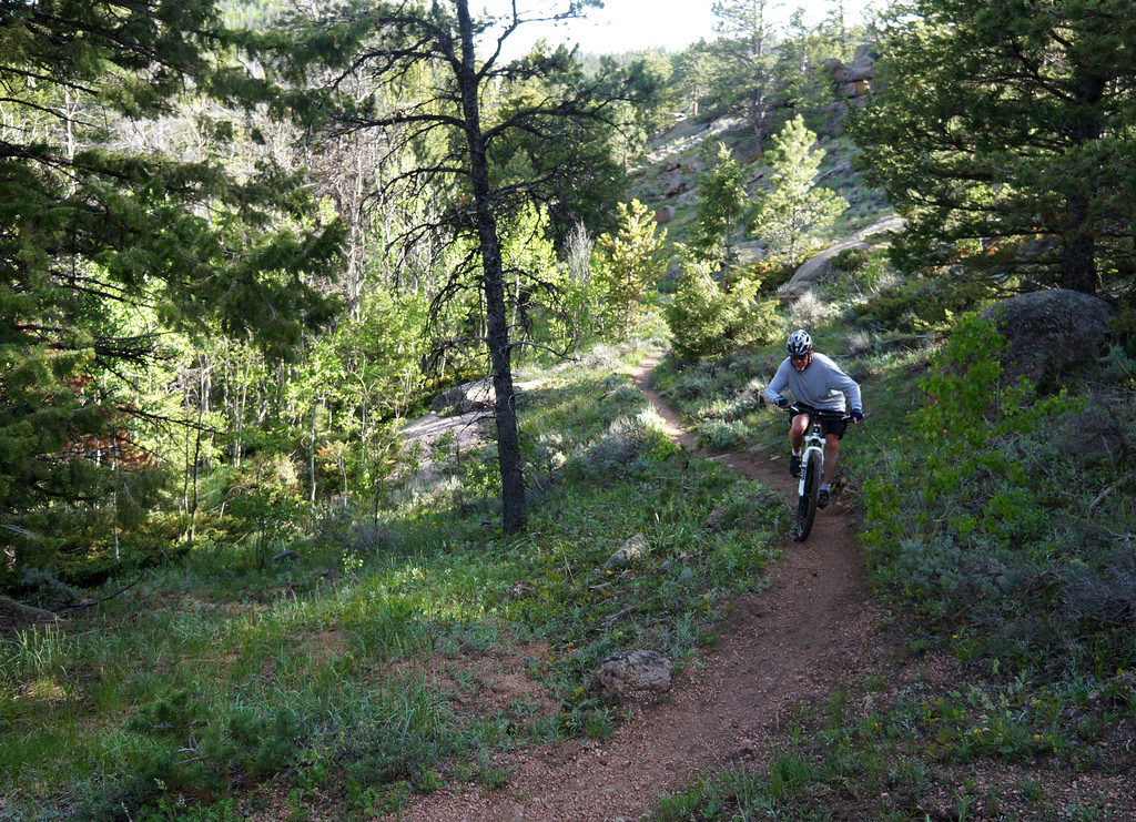
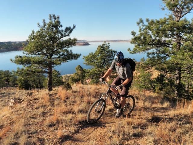
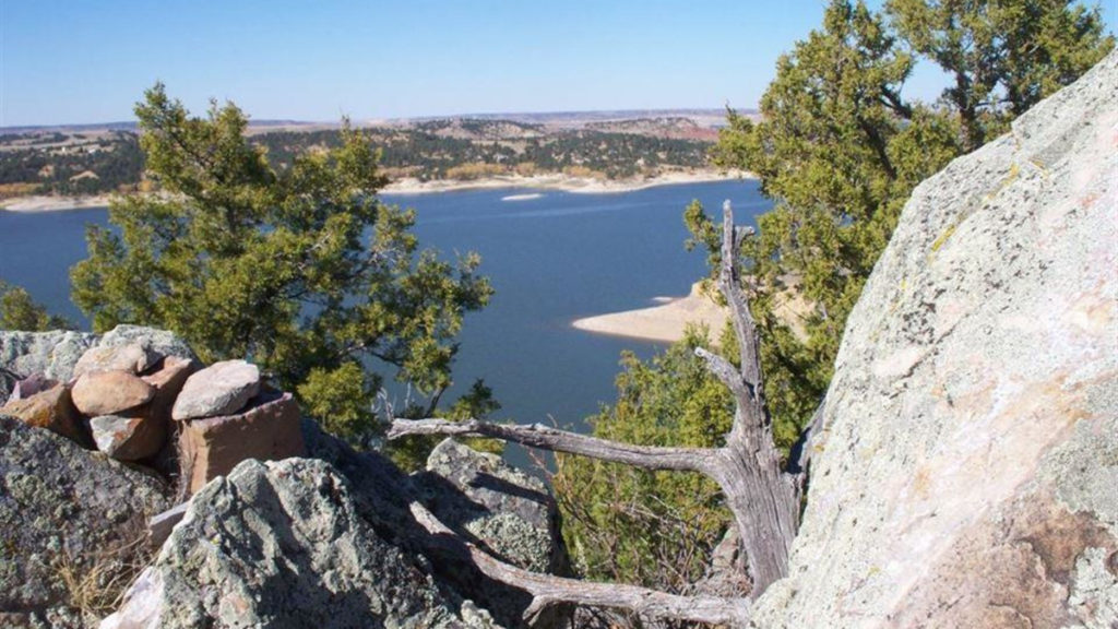
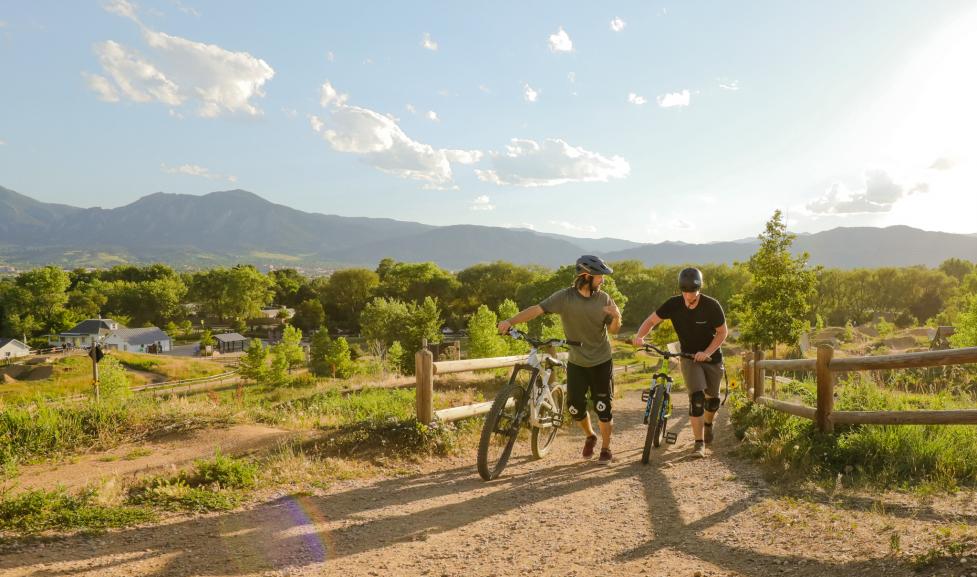
Curt Gowdy State Park
Nestled among the rocks exactly halfway between Cheyenne and Laramie, Curt Gowdy offers some of the best mountain biking in the region. No matter what type of riding you're after, you'll find something to keep your heart pounding up here; with smooth, flowing dirt singletrack, technical granite features, skills areas and more, there's fun to be had for all skill levels.

Scan this QR code for the map to Curt Gowdy trails.
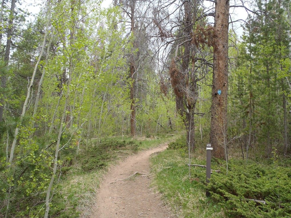
Happy Jack Recreation Area
Just a few miles further West past the aforementioned Curt Gowdy, this area holds miles and miles of fast-paced singletrack, beautiful scenic trails, and challenging endurance & technical features. This extensive trail network offers a new experience every visit.
To get there, take either WYO-210 or I-80 West about 30 miles from Cheyenne.

Scan this QR code for the map to Happy Jack trails.
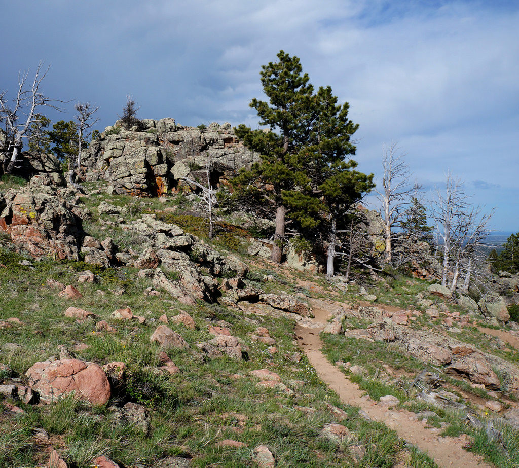
Soapstone Prairie Natural Area
This expansive area is just south of the Wyoming-Colorado border and is managed & maintained by the city of Fort Collins. Miles of dirt trails lead through beautiful scenic views you can only find in this part of the world.
To get there, take I-25 South from Cheyenne for about 20 miles to the exit for Buckeye Road (Co Rd 82). Take this road West for 6 miles, turn right on Terry Lake Road (Co Rd 15), and head North for another 10 miles.

Soapstone Trail Map
Scan this QR code for the map to Soapstone trails.
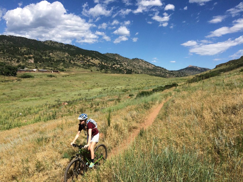
Glendo State Park
Though a little further out, Glendo's extensive trail system definitely deserves a day trip for riders of all types. This area overlooks a large lake, and makes for some awesome camping.
To get there, take I-25 North for a little over 100 miles from Cheyenne.
 Scan this QR code for the map to Glendo trails.
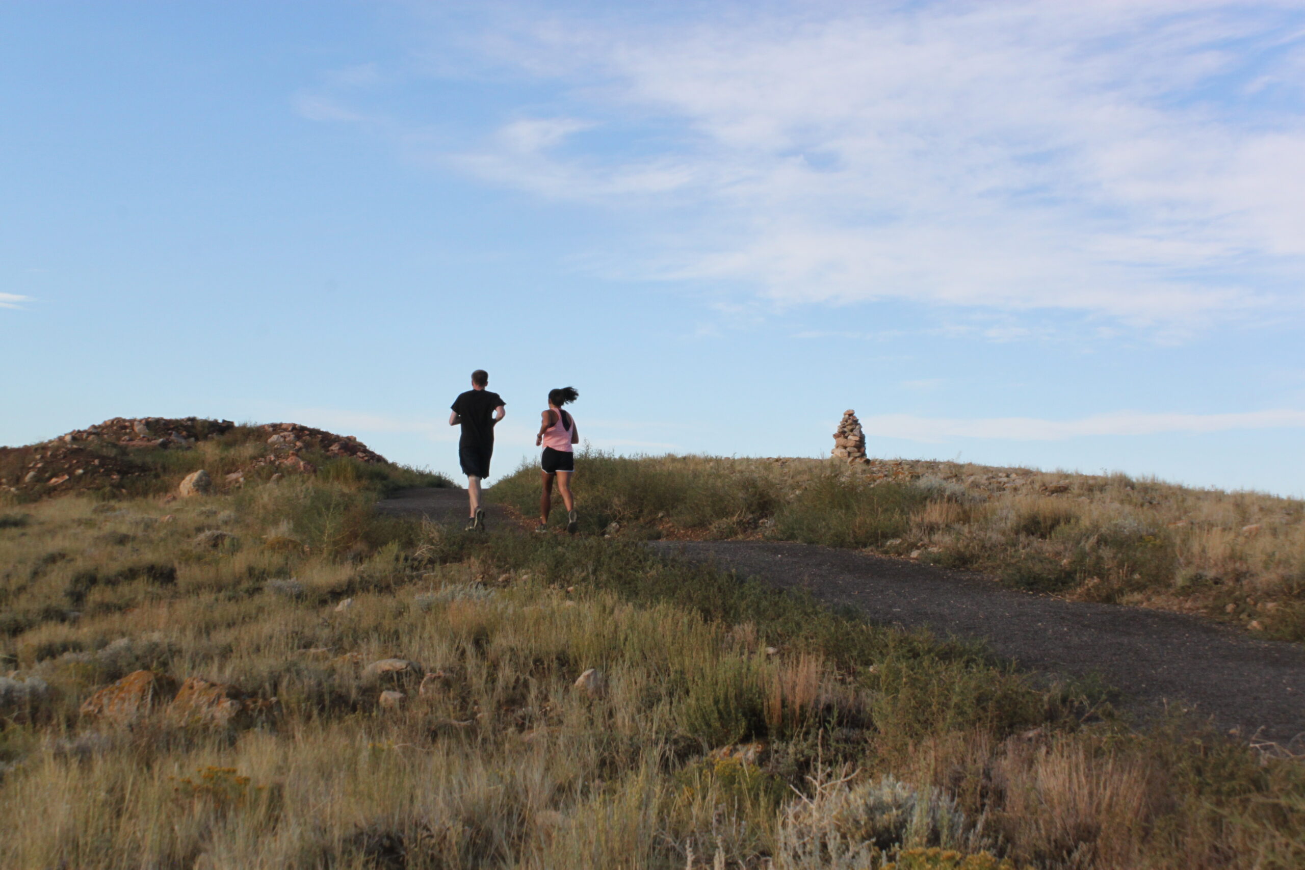
Pilot Hill Project
For the first time in our history, Pilot Hill trails now connect Laramie to the Medicine Bow National Forest.
With the completion of seven new trail miles in 2021, hikers, runners, and riders can now follow two routes from Laramie to the top of Pilot Hill and back down or enjoy several shorter loops in both the lower and upper sections of the Recreation Area.

Scan this QR code for the map to Pilot Hill trails.
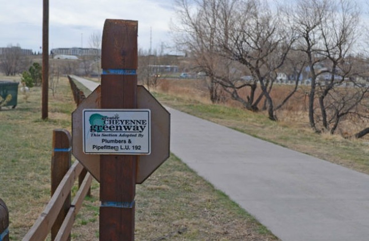
Cheyenne Greenway
The Greater Cheyenne Greenway is a 10-foot wide, reinforced concrete path that can be utilized by pedestrians and bicyclists throughout the City and portions of the County. The Greenway serves as a safe and accessible recreational corridor; a key component of transportation alternatives; an open-air science, ecology, history, and health classroom for students of all ages; and a vital public space integral in building sustainable, vibrant and healthy neighborhoods and a cohesive community. From Sun Valley to Western Hills; Downtown to Harmony Meadows; LCCC to the Pointe; the Greenway is a path for all neighborhoods.

Scan this QR code for the map to Cheyenne Greenway trails.
Boulder, CO - Valmont Bike Park
Valmont Bike Park is a 42-acre, natural surface cycling terrain park offering diverse amenities for several riding styles and abilities.
The park is free and open daily from dawn to dusk as weather and trail conditions allow. For updates, see the Valmont Bike Park Facebook page or the Twitter feed.
Please respect Valmont Bike Park closures due to weather. People who enter the park will cause damage to the trails.